With professionals of a varied discipline working full time, Sandcays possesses the equipment, tools and checklists necessary for the successful completion of projects. The survey and environmental laboratory services are now provided by recently established Veshilab. Veshilab has been formed to support Sandcays' consultants as well as other independent consultants in the Maldives. Veshilab provides topographic and hydrographic survey and baseline environmental surveys for anyone who may require those services.
Air quality monitoring is frequently conducted for RO Plant and Powerhouse Registration. Air quality is measured in the field using our portable air quality logger which provides accurate indoor air quality assisting in easy and efficient green building surveys.
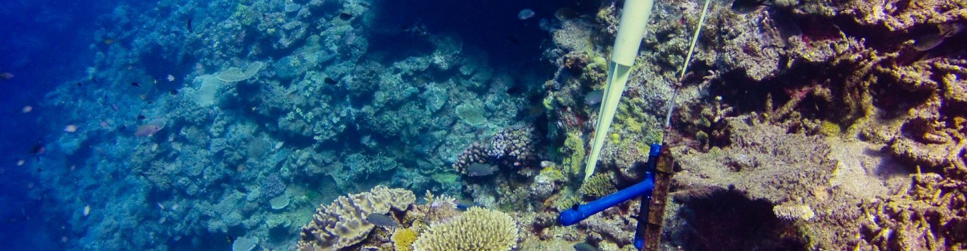
In addition to drogues used for measuring surface currents, we have current meters that can be deployed for months. Deploying is done with caution after two current meters were stolen while installed outside Kulhudhuffushi harbour around mid 2017.
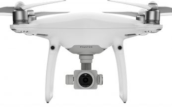
DJI has been our favourite drone since we started drone imaging and mapping services. It can provide accurate aerial maps that can be overlaid on our survey maps providing added detail to our projects. Our surveyors are well conversant with drone technology.
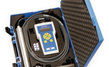
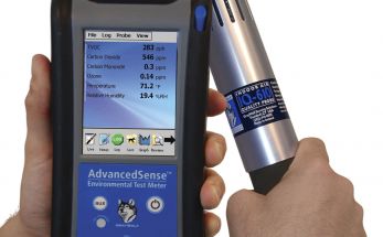
This equipment is a very useful piece of equipment for measuring water quality in most of our projects, especially monitoring of turbidity and dissolved oxygen in dredging and reclamation projects as well as other coastal development projects, which most of our projects are.
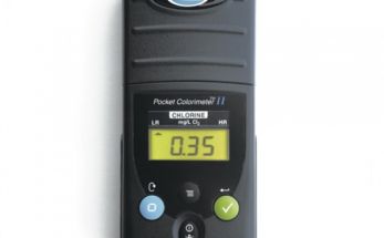
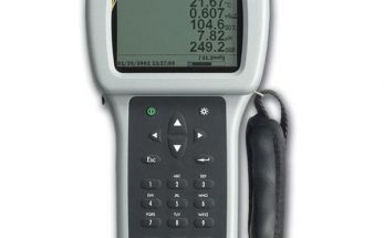
This equipment is used to measure chlorine levels in pools and water supplies.
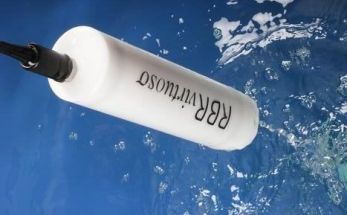
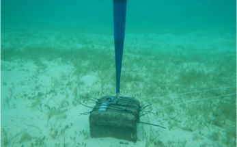
RBR Virtuoso Duo measures wave and tide for long periods of time. One of our units has been stolen while installed outside Kulhudhuffushi harbour after 30 days of data collection for the harbour expansion project.
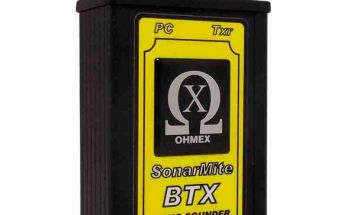
Sonarmite is commonly used by surveyors in the Maldives due to its ease of use and setup in the field. It can be connected to all GPS units we have including the RTK system to get accurate bathymetry data for almost every project.
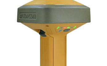
Capable of tracking GPS, GLONASS, BeiDou, Galileo, QZSS constellations, we use the Topcon GR-5 GPS system to get the highest accuracy positioning we need for land regsitration and other surveys.
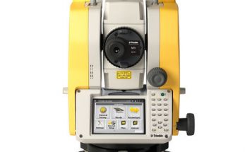
We use Trimble M3 DR 2" with high-accuracy EDM providing fast, reliable measurements. This instrument provides 2" accuracy within over 3.5km range. It is light weight and meets our optical and conventional surveying needs. The total station is calibrated annually and kept in good working order. It supplements the RTK system where GPS accuracy is not achievable due to vegetation or buildings.
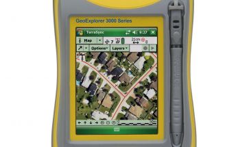
One of the first GPS units used by Sandcays' surveyors, the Trimble GeoXH 3000 series provides for all geo-spatial data needs of EIAs and GIS mapping requirements where accuracy is not of critical importance. It is slowly being replaced by its new counterparts such as the GeoExplorer 6000 series.
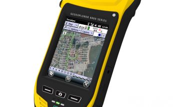
The Geo Explorer 6000 series has provided for almost all EIA data requirements since it got added to our surveying equipment. It still holds as one of the most user-friendly pieces of GPS equipment and easily used in the field for geo-spatial gata collection.
All basic water quality measurements are made using this water quality logger. It measures temperature, pH, oxidation-reduction potential, electrical conductivity/TDS/salinity and dissolved oxygen. The logger is kept in working condition by regular maintenance and calibration.
Please Follow us on our other Social Media Pages